San Jacinto peak: first real summit
When we woke up, the weather was clear, so we decided to summit the second-highest peak in Southern California -- the 10,834-foot peak of San Jacinto.
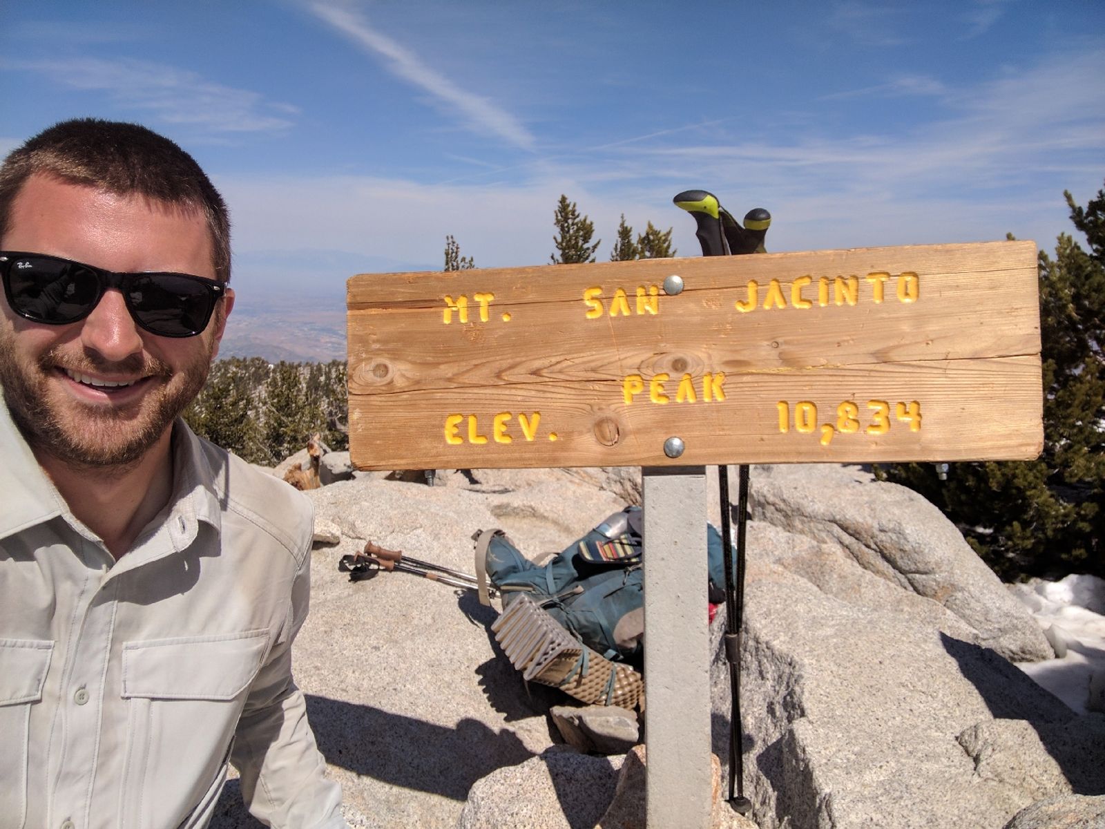 Obligatory selfie
The truly breathtaking thing about this summit wasn't the elevation, but it was that you looked down into the 1,200-foot desert floor -- 9,600+ feet below you.
Furthermore, you could see the snowy peaks of San Gorgonio in the distance -- impossibly far away, but you knew you'd be there in, like, two days of hiking. Crazy.
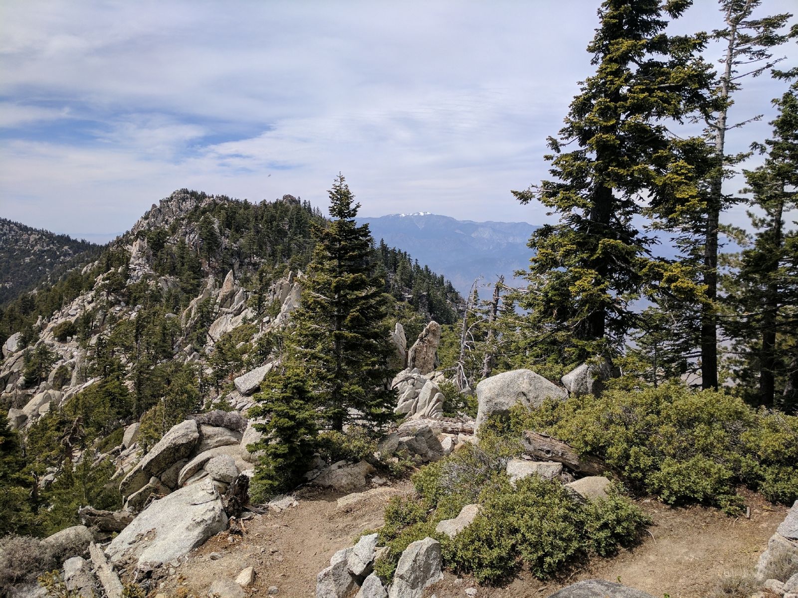
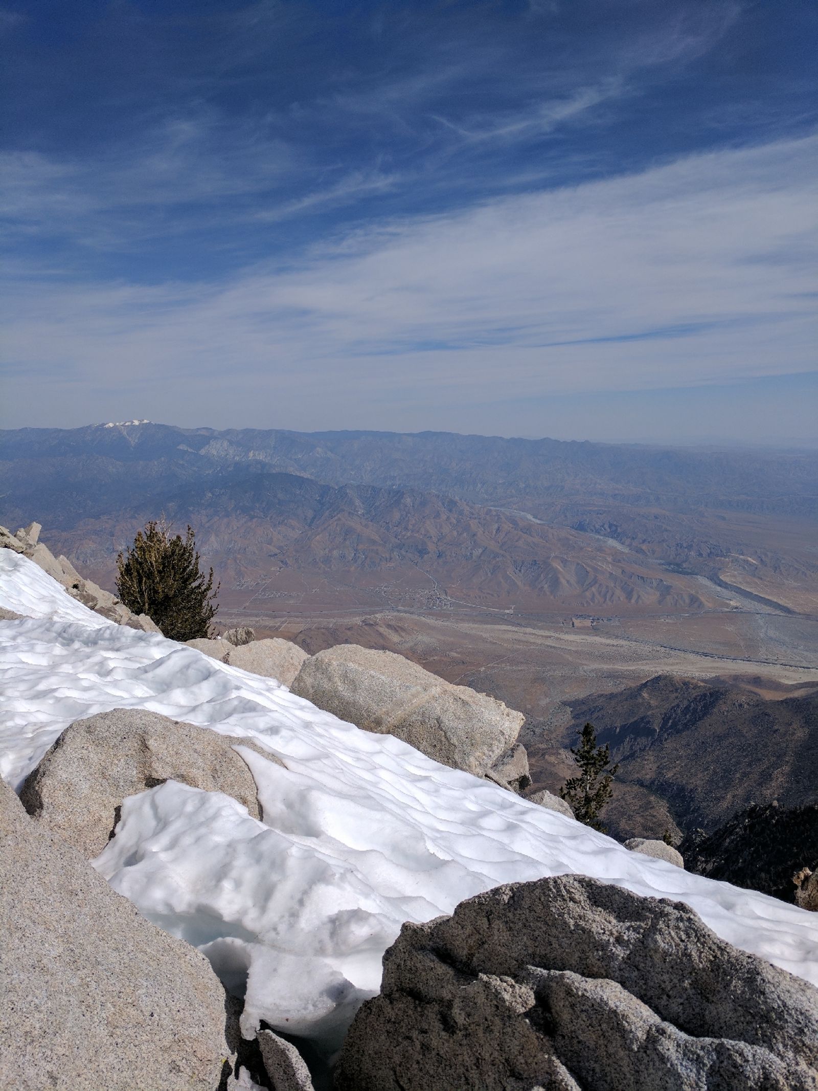 Note the snowy peaks of San Gorgonio, 100 miles and +10,000/-10,000 feet of elevation gain/loss away (only a few days away)
On the way back to the PCT, we followed some old footprints and got totally lost. Thankfully I had a map and a compass (yay, Boy Scouts!) and we got back on track with a bit of scrambling.
 Post-holing
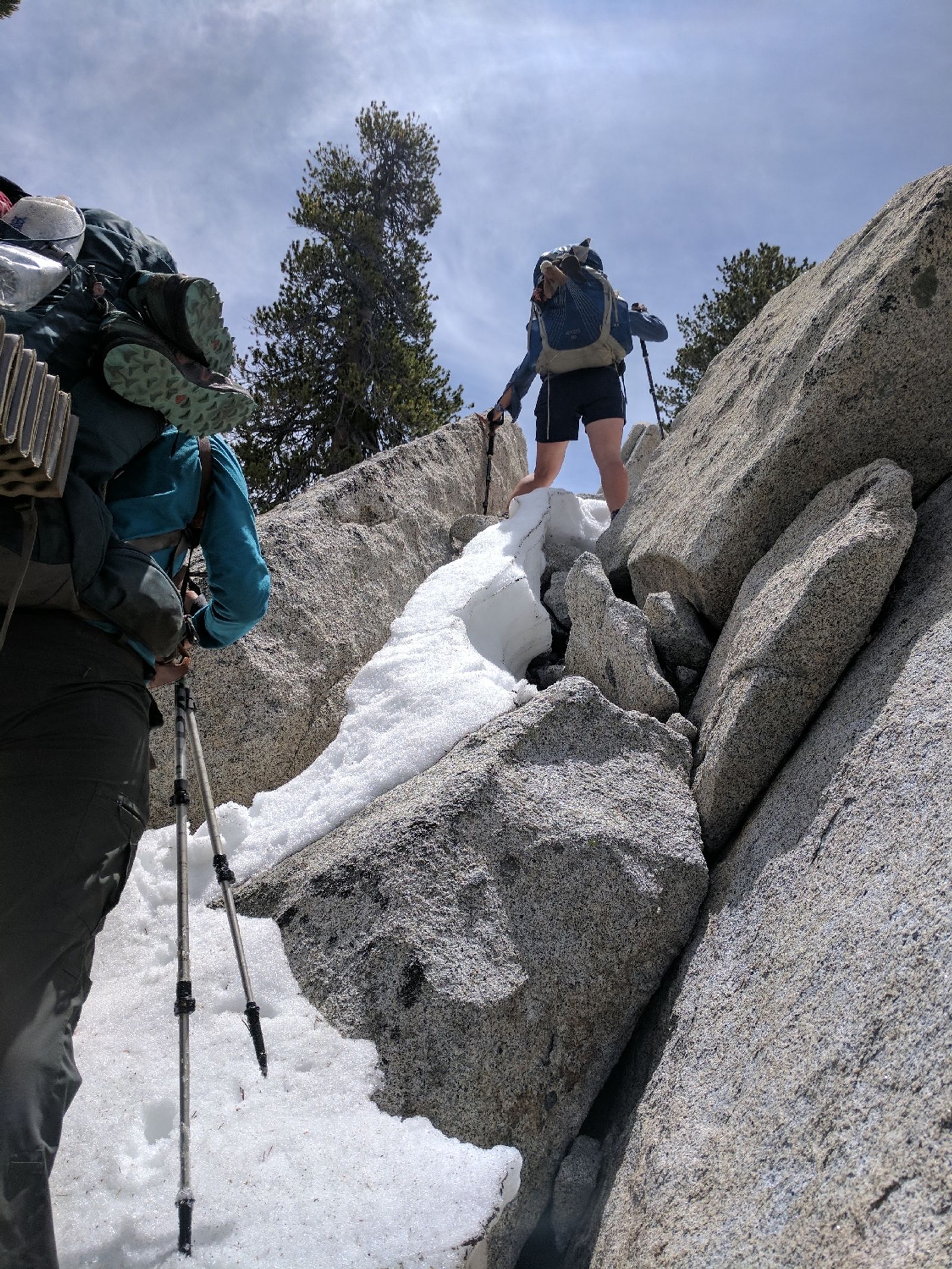 And boulder scrambling
Eventually we were back on the good ol' PCT, headed to Canada. We had our first major stream crossings from all of the melting snow, which was exciting.
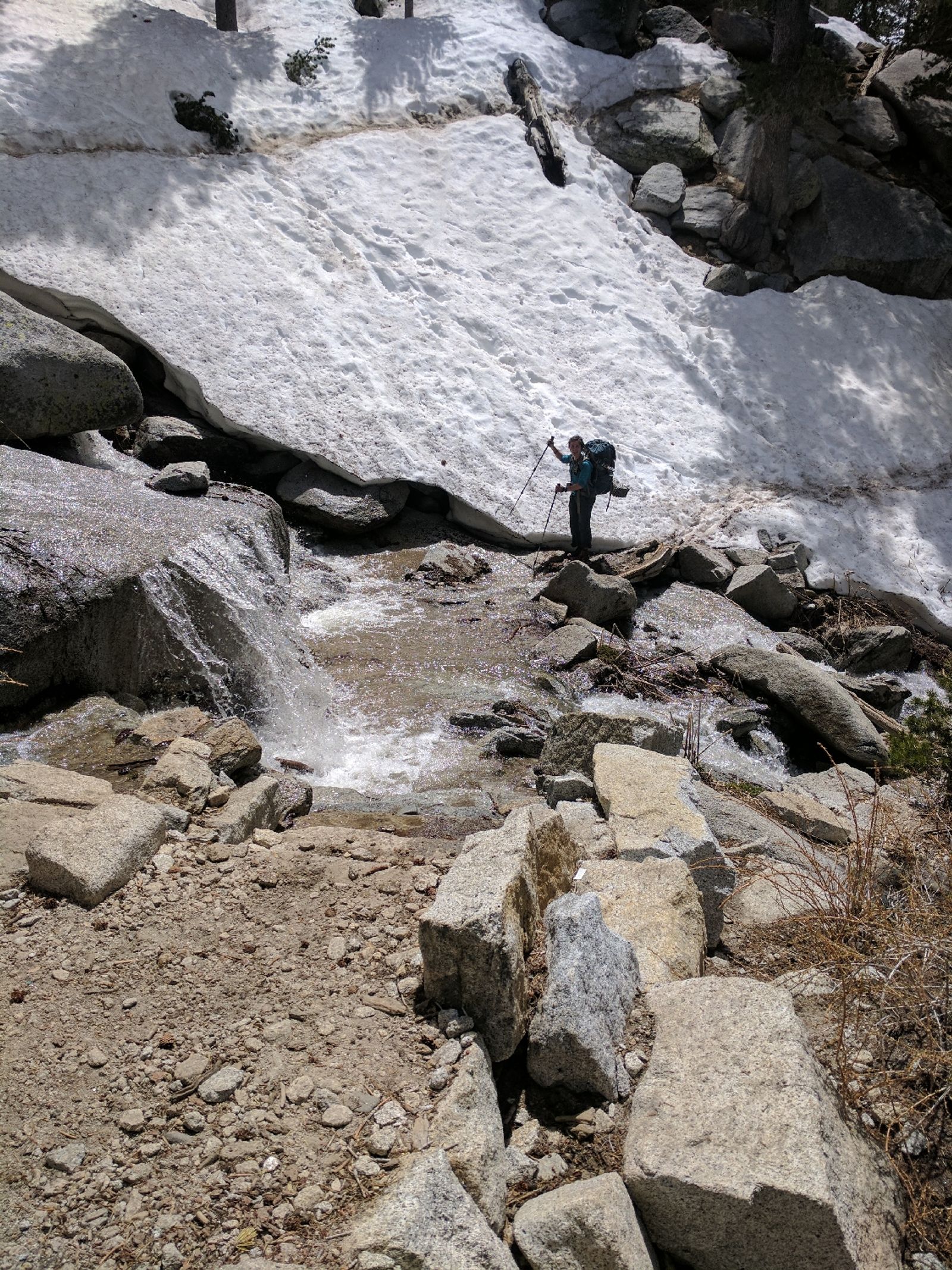 Step carefully now...
The main reason for the schedule we chose was because we wanted to cross the infamous Fuller Ridge today. There was a big storm that was predicted to snow and rain for a few days, which could make the Ridge either impassable or dangerous. However, because we had timed it perfectly, we didn't have to worry about it.
Yay, planning!
 Wonderful conditions and better views